
Maps and terrain: Wilczyn and Trzebnica 9.01.2012
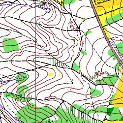
Stage 1 (E1 - long distance) - map "Wilczyn", scale 1:10 000, e-5 m, surveyed: 2007
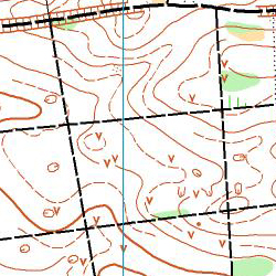


Terrain: forest with varied runnability, basically good, partly slow or uncrossable running to overgrow by bramble. Relatively flat, difference in altitude max 25m, rather density chain of roads and paths. Terrain divided into two parts; western – hilly, eastern – flat. On the north forest to cut through deep ditch.
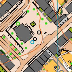
Stage 2 (E2 - night sprint) - new map "Trzebnica-Rynek",scale 1:3 000, e-2,5 m, surveyed winter 2012:
 .
.  .
. 
Terrain: typical city structure, houses and buildings compact settlement, tunnels, gates, terraces, small squares. Roads and paths consist of mostly asphalt and paving surface, mostly good runnability. Each area is rather flat.
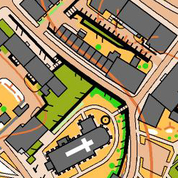
Stage 3 (relay) - map "Trzebnica", scale 1:5 000, e-2,5 m, surveyed: 2012:


Terrain: partially beech forest, varied runnability, hill slope divided wide gorges. Rather density chain of roads and paths. Many walking terrains for citiziens of Trzebnica.
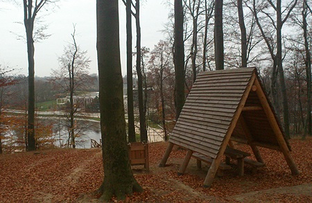
Relay's area on 5.01.2011:

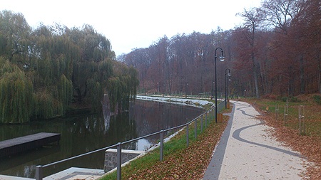
Night sprint's area on 6.03.2012:

Organizers:


Sponsors:

Partners:


Media:


See also:


Klub Sportowy Artemis Wrocław - artemis.wroclaw.pl
Redakcja: Róża Spiliszewska - ozam@gazeta.pl
